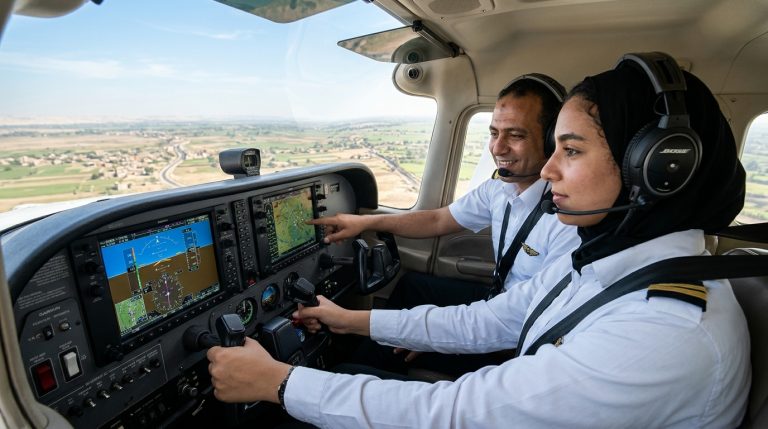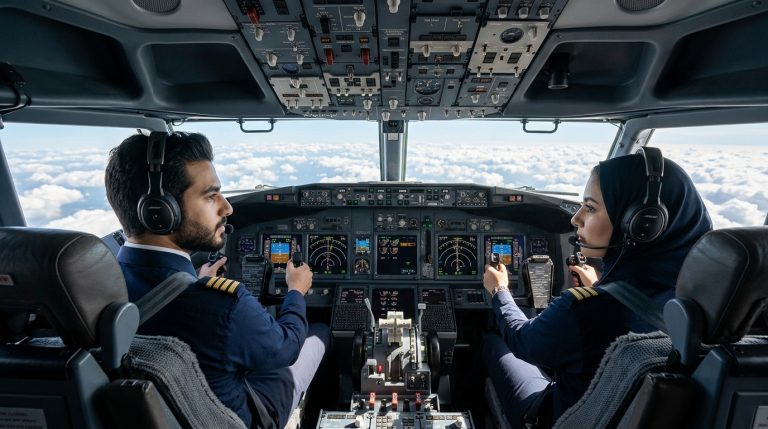
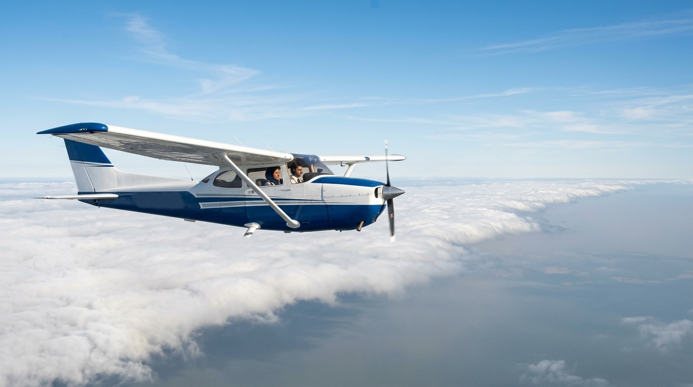
An air mass is an extensive body of air, frequently covering thousands of square kilometers, that exhibits relatively uniform horizontal levels of temperature and moisture. In aviation, the characteristics of an air mass dictate inflight visibility, cloud formations, convective activity, and turbulence. Recognizing how an air mass forms, moves, and modifies is one of the most critical weather skills every professional pilot develops during flight training.
Whether cruising through smooth, clear skies or navigating around convective storm cells, pilots rely on meteorology to make safe, decisive aeronautical decisions. For aspiring aviators in Egypt and the Middle East planning their commercial pilot journey, understanding atmospheric physics is both an operational necessity and a vital component of ground school examinations.
What Is an Air Mass and How Does It Form?
An air mass acquires its defining characteristics from the surface over which it originates, known as a source region. Ideal source regions are vast, flat geographic areas with light surface winds where air can stagnate long enough to take on the thermal and moisture traits of the underlying terrain. These regions are commonly associated with semi-permanent high-pressure systems.
As the air lingers over deserts, oceans, or polar ice caps, heat and moisture exchange between the Earth’s surface and the lower atmosphere. Once established, pressure gradients eventually push the air mass away from its source region, bringing distinct weather patterns across continents and flight corridors.
Aviation Classification of Air Masses
Aviation meteorology classifies an air mass using a two-letter or three-letter system based on moisture content and latitude of origin. These designations allow pilots to predict weather trends before departure.
1. Moisture Source (Humidity)
- Continental (c): Originates over large landmasses. Continental air is dry, typically resulting in limited cloud development unless substantial vertical lifting occurs.
- Maritime (m): Originates over oceans and open seas. Maritime air carries high humidity, frequently producing low ceilings, precipitation, and reduced visibility.
2. Thermal Source (Latitude)
- Arctic (A): Exceptionally cold and dry air masses forming over snow- and ice-covered Arctic regions.
- Polar (P): Cold air masses originating in sub-polar latitudes over land or sea.
- Tropical (T): Warm or hot air masses developing in subtropical and equatorial zones.
- Equatorial (E): Extremely hot, saturated air masses forming directly near the equator, known for intense vertical convective currents.
Combining these characteristics yields four primary types encountered in standard flight operations: Continental Polar (cP), Continental Tropical (cT), Maritime Polar (mP), and Maritime Tropical (mT).
Air Mass Modification and Atmospheric Stability
When an air mass leaves its source region, its properties begin to alter based on the surface it travels across. This modification directly impacts atmospheric stability—a pilot’s primary indicator of flight smoothness and cloud type.
Cold Air Moving Over a Warm Surface (k designation)
When a colder air mass travels across a warmer surface (such as cold polar air sweeping over warmer waters), the lower levels are heated from below. This warming creates an unstable lapse rate, producing:
- Vertical updrafts and convective cloud formations (Cumulus, Towering Cumulus).
- Turbulent low-level flying conditions.
- Showery precipitation and potential icing.
- Generally good visibility outside of rain showers because dust and particulate matter are swept aloft.
Warm Air Moving Over a Cool Surface (w designation)
Conversely, when a warm air mass drifts across a colder surface, the lower air layer is cooled from below, stabilizing the atmosphere. This stability produces:
- Stratiform cloud decks, low ceilings, and surface fog.
- Smooth flying conditions with minimal thermal turbulence.
- Poor horizontal visibility caused by trapped dust, smoke, and industrial haze.
- Continuous or drizzling precipitation rather than sudden convective showers.
Flight Hazards Associated with Major Air Masses
Every commercial aviator learns to correlate specific air masses with distinctive inflight hazards. Being prepared allows flight crews to select appropriate cruising altitudes, calculate fuel reserves, and coordinate diversions when necessary.
| Air Mass Type | Typical Stability | Common Cloud Formations | Primary Aviation Hazards | Inflight Visibility |
|---|---|---|---|---|
| Continental Polar (cP) | Stable at source; unstable if heated | Clear skies or stratocumulus | Freezing temperatures, structural icing aloft | Good to excellent |
| Continental Tropical (cT) | Unstable lapse rate | Clear or isolated high-based cumulus | Severe thermal turbulence, high density altitude | Hazy to moderate (dust/sand) |
| Maritime Polar (mP) | Conditionally unstable | Cumulus, stratocumulus, nimbostratus | Low cloud ceilings, carb icing, structural icing | Moderate, poor in precipitation |
| Maritime Tropical (mT) | Highly unstable | Cumulonimbus, heavy cumulus | Severe thunderstorms, microbursts, wind shear | Poor in haze, fog, and downpours |
Frontal Weather: When Different Air Masses Collide
The boundaries separating two contrasting air masses are known as weather fronts. Because air masses have different temperatures and densities, they resist mixing immediately. Instead, the warmer, lighter air is forced up over the cooler, denser air.
These frontal zones create the most dramatic aviation weather events. Cold fronts typically advance rapidly, lifting moist air violently to generate narrow lines of severe thunderstorms and squall lines. Warm fronts push gradually, creating extensive areas of stratus clouds, persistent rain, widespread low ceilings, and fog that can ground visual flight rules (VFR) operations over hundreds of miles.
Mastering Meteorology in Pilot Training
Theoretical knowledge of aviation weather is not merely academic; it is tested rigorously throughout commercial flight training. During ground school, student pilots learn to decode METARs, TAFs, radar mosaics, and synoptic weather charts to assess air mass behavior before every flight.
At SkyTeam Aviation Academy, our comprehensive Commercial Pilot License (CPL) program spans approximately 18 months (including the Private Pilot License) and incorporates 200 flight hours. Cadets undergo flight training with our partner flight school in South Africa (SACAA approved), an environment that exposes future pilots to diverse geographical terrain and seasonal weather variations.
Upon completing their South African CPL, graduates returning to Egypt complete conversion exams administered by the Egyptian Civil Aviation Authority (ECAA). These exams focus on three key subjects: Egyptian air law, navigation, and aviation meteorology. Understanding how regional air masses interact across the Mediterranean, the Sahara, and the Nile Delta ensures that pilots are thoroughly prepared for commercial cockpits.
Furthermore, under Supreme Council of Universities decision no. 210, an Egyptian commercial pilot license issued by the ECAA can be officially equated to a higher university qualification (bachelor’s level) for holders of the Thanaweya Amma or its equivalent, opening long-term academic and career advancement opportunities.
Frequently Asked Questions
What is the most dangerous air mass for pilots?
A Maritime Tropical (mT) air mass generally presents the greatest hazard to flight operations. Because it is warm and saturated with moisture, convective lifting readily triggers severe thunderstorms, microbursts, hail, lightning, and intense low-level wind shear.
How does an air mass affect altimeter settings?
An air mass with significantly colder or warmer temperatures than the International Standard Atmosphere (ISA) impacts barometric altimeters. Flying from a warm air mass into a cold air mass without updating altimeter settings causes the aircraft to fly lower than the indicated altitude, raising terrain clearance risks.
Why is meteorology tested during the Egyptian ECAA license conversion?
Every aviation authority requires incoming foreign license holders to demonstrate command of local weather systems. Converting a SACAA license to an Egyptian CPL involves passing exams in three subjects: Egyptian air law, navigation, and meteorology. This guarantees familiarity with regional weather patterns, desert thermal activity, and Mediterranean coastal fronts.
Can pilots predict turbulence solely from air mass data?
While an air mass alone does not tell the whole story, its stability provides clear clues. A cold air mass moving over a warm surface (unstable air) typically brings convective thermal turbulence, whereas a stable air mass over a cold surface offers smooth cruising conditions, albeit with potential fog or haze.
Start Your Professional Aviation Career with SkyTeam
Aviation meteorology turns raw atmospheric science into practical, lifesaving cockpit judgment. If you are between 16 and 28 years old and dream of commanding commercial airliners, SkyTeam Aviation Academy provides the guided path from your first ground school lesson to professional airline qualification.
Our pilot training program tuition is 46,000 USD plus registration fees, covering your complete flight training curriculum and exams. Students train in South Africa, living in a secured compound adjacent to the study location, with flexible installment structures available. With high demand for commercial pilots across Egypt and the Middle East, our team helps prepare you for airline assessments, while top graduates may also earn opportunities as flight instructors to build valuable flight hours.
Speak with our admissions counselors today to review your eligibility, explore our quarterly intakes, and begin your journey. Visit our Cairo office at 108 Hassan Maamoun Street, Nasr City, or apply online now to start your flight training.